Ecosystem Insights from Space
Satellite imagery analysis has emerged as a powerful tool for understanding our natural environment. This technology enables ecosystems to be analyzed at large spatial scales at a relatively low cost, to address critical issues such as vegetation health, landcover change, and habitat connectivity. This technology is another powerful and exciting tool that AJM has available for informing responsible environmental management.

Bathymetry: The Shape of Sound
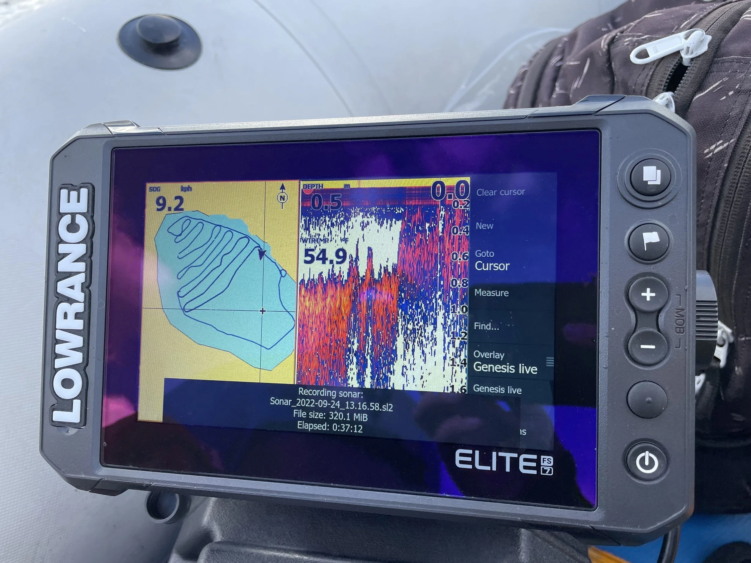
Have you ever wondered what the bottom of the ocean looks like? Or how deep your favourite lake is? Using the science of bathymetry, we can investigate these mysterious biomes without ever leaving the surface! Bathymetry is the measurement of water depth in river, lake, and ocean ecosystems. It is a fundamental component of hydrography which studies the physical characteristics of a water body.

Your Eye in the Sky
Technology has changed the face of resource management and one tool in particular has gained popularity as a resource for visualizing diverse landscapes. Drones, also known as unmanned aerial vehicles (UAVs), are an incredible tool to capture both large and fine scale aerial imagery of anything from tracts of wilderness to large infrastructure projects.
