Trout Creek Watershed Assessment
CLIENT: Trout Unlimited Canada (TUC)
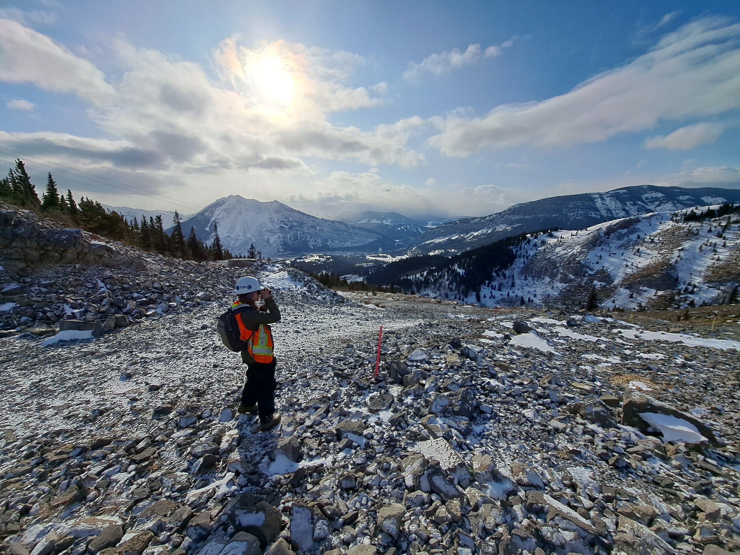
Trout Unlimited Canada hired AJM to assess the Upper Trout Creek watershed for reclamation planning of aquatic and riparian habitats. Recommendations by Qualified Aquatic Environmental Specialists (QAES) focused on bank reconstruction, vegetation, erosion control, and channel re-alignment to mitigate impacts on fish habitats from human activities (e.g., OHV trails, cattle grazing) and natural events (e.g., flooding, bank erosion).
The assessment used modeling data, geospatial information, satellite imagery, and drone footage, along with conditions observed during QAES-led field investigations. An AJM geomatics specialist combined OHV trail data with a Road Erosion and Delivery Index (READI) model to identify erosion and sediment sources affecting aquatic habitats. Features were ranked by their impact on fish habitats and prioritized for drone reconnaissance.
Drone flights by licensed pilots from AJM using a DJI Mavic Pro 2 captured images of four key areas in the watershed, focusing on critical "hot spots." The spring pre-leaf-out period was chosen for clear photography. Images were processed into an orthomosaic map for detailed analysis, revealing new potential features and validating previously identified ones. Twelve flights covered 16.5 kilometers, resulting in over 5,500 images analyzed for habitat impact assessment.


